
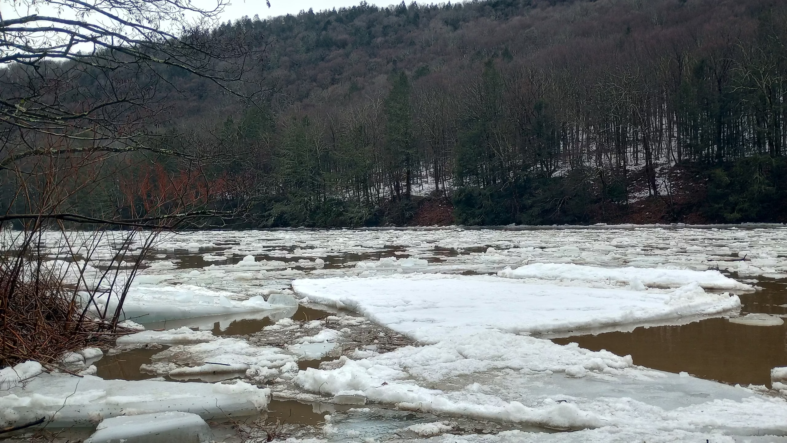
The dramatic ice breakup event observed on March 6, 2025, along the Upper Delaware River at Hancock, New York, represents a convergence of hydrological, climatic, and historical forces. This phenomenon, marked by the sudden release of winter’s frozen grip, has shaped the region’s ecology, economy, and cultural memory for centuries. Recalling to the catastrophic ice jams of 1981 near Port Jervis, the river’s thaw cycles have inspired both awe and caution. The event’s annual recurrence reflects the delicate balance between the Catskill Mountains’ cold-air drainage, the river’s kinetic energy, and anthropogenic influences on flood regimes.
Geographical and Hydrological Context of the Upper Delaware River
The River’s Physiographic Foundations
The Upper Delaware River originates in the Catskill Mountains, where the convergence of the East and West Branches at Hancock, NY, forms a main stem flowing southeast through a glacially carved valley. This stretch, bordered by the Catskills and Pocono Uplands, exhibits a steep gradient that accelerates spring snowmelt and ice transport. The river’s narrow channel and rocky substrate amplify turbulence during breakup events, creating conditions prone to ice jams.
Winter ice formation here is facilitated by the region’s cold-air pooling, with temperatures often 5–10°F colder than adjacent lowlands. By late February, ice thickness typically reaches 12–18 inches, though variability exists due to snow cover insulation and midwinter thaws. The river’s flow regime—sustained by releases from Cannonsville and Pepacton reservoirs—further modulates freeze-thaw cycles, as dam operators balance flood control with ecological needs for cold-water fisheries.
Mechanics of Ice Breakup: From Fracture to Flood
Thermal and Hydraulic Drivers
Ice breakup on the Upper Delaware follows a threshold-driven process:
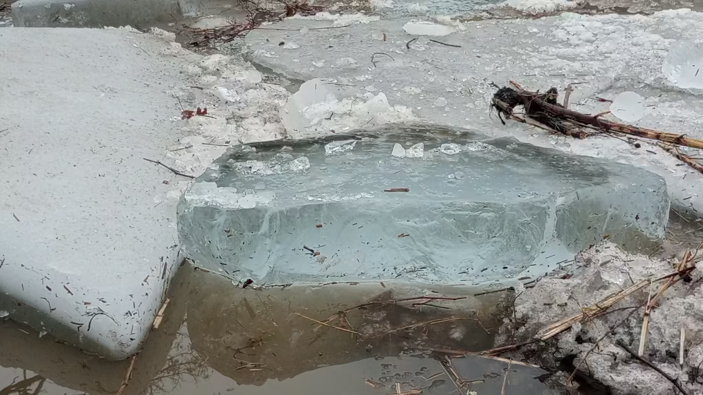
- Thermal weakening: Rising air temperatures (>40°F for ≥3 days) and solar radiation degrade ice integrity, creating longitudinal cracks.
- Mechanical failure: Increased discharge from snowmelt or rain elevates shear stress beneath the ice cover, exceeding its flexural strength.
- Dynamic transport: Ice floes mobilize downstream, often accumulating at constrictions like the Zane Grey Bridge near Lackawaxen or the Roebling Bridge at Minisink Ford.
The 2025 event exemplifies a “mid-winter breakup,” occurring before significant snowpack loss. Such events are particularly hazardous, as moving ice can shear vegetation, destabilize banks, and trigger jams that elevate water levels by 10–15 feet within hours.
Ecological and Socioeconomic Repercussions
Floodplain Scouring and Habitat Renewal
High-energy ice runs reshape riverine ecosystems by:
- Excavating spawning gravels for American shad and trout
- Toppling senescent trees, creating woody debris for aquatic invertebrates
- Depositing nutrient-rich sediments on floodplains
However, intensified breakup events under climate change (projected +23% flood magnitude by 2100) may exceed these systems’ adaptive capacity, homogenizing habitats through excessive scouring.
Climate Change and the Future of Ice Dynamics
Shifting Flood Mechanisms
Hydrological models project a transition from snowmelt-dominated to rain-driven floods in the Upper Basin. By 2100:
- Rain-on-snow events will decline by 40%
- Short-duration rainfall floods (≥2 inches/6hr) will increase by 70%
- Antecedent soil moisture (AMC) shifts toward wetter conditions, amplifying runoff
These changes may decouple ice breakup from traditional spring cues, increasing mid-winter jams akin to 1981’s disaster.
Engineering Adaptations
Lessons from the 1980s ice control studies remain relevant. Submerged vanes at the Hancock Narrows could redirect ice flows, while controlled reservoir releases might synchronize breakup timing. However, such measures require balancing ecological flows for trout survival—a challenge as summer temperatures rise.
Conclusion
The Upper Delaware’s annual ice breakup epitomizes humanity’s fraught coexistence with riverine systems. Yet, as climate change reshapes winter’s rhythms, Hancock’s residents face a paradoxical future: fewer days for ice fishing, but greater risks from destabilized ice regimes. Preserving both ecological integrity and community resilience will demand adaptive strategies as dynamic as the river itself—blending traditional knowledge with predictive hydrology, much like the ice harvesters who once read the river’s frozen skin to gauge its hidden currents.



